Every gram in a thru-hike pack has to justify itself over hundreds of miles, and navigation is where the math gets uncomfortable. Your phone already weighs what it weighs. A paper map adds almost nothing. A dedicated GPS adds real ounces. The question isn't which system is best — it's which combination keeps you found when something fails, without turning your pack into a surveyor's kit.
Navigation weight is really a risk decision in disguise. Think about how each tool fails. A phone dies from cold, water, a cracked screen, or a dead battery. Paper dies from fire, wind, and carelessness — but it survives being soaked, frozen, and dropped off a cliff. A compass fails when it's cheap, or when you don't know how to use it.
So the goal isn't three complete systems. It's one primary and one backup that share no common failure mode. On a well-blazed corridor trail with steady traffic, that backup can be a single printed map. On a cross-country route in the Rockies, it can't.
A single sheet of standard printer paper weighs roughly a fifth of an ounce. Double-sided, black-and-white, printed at home, trimmed of margins, a week's worth of maps might come to an ounce or two. That's cheaper and lighter than almost any electronic option, and it never needs charging.
The tradeoffs are real: no zoom, no blue dot showing where you are, and paper tears. But paper also works at ten below, works after a week of rain, and works when you've forgotten your charging cable in a hostel in Virginia.
A basic baseplate compass weighs about an ounce. There is no lighter tool that does what it does, and no battery that can die. Get one with adjustable declination, a rotating bezel you can actually read, and a lanyard you can clip to a pack strap so it doesn't wander off.
Two things matter more than the model. First, set your declination before you start — or learn to correct for it on the fly, because getting this wrong is a classic way to walk the wrong direction confidently. Second, practice. Take a bearing from a trailhead sign, follow it for a few hundred yards, and see where you land. Thumbing the map — folding it small and moving your thumb along as you walk — is worth learning before the trail, not during a fog bank above treeline.
Those tiny button compasses sold as zipper pulls are fine as a spare, but they're hard to read and nearly impossible to sight a bearing with. Don't make one your only compass.
Your phone is coming anyway. In airplane mode with offline maps downloaded, its marginal navigation weight is zero — what you're really budgeting for is battery. Continuous GPS use drains a phone far faster than standby, so on most long trails plan to recharge regularly and carry a power bank sized to your longest gap between outlets.
Download map tiles for the entire route plus a buffer before you leave, and re-download at each resupply when the app allows. Apps like Gaia GPS, CalTopo, and Organic Maps handle offline topo well; corridor guide apps are better for water, campsites, and town info than for actual terrain navigation.
Guard against the obvious failures: keep the phone in a waterproof case, keep it warm in a pocket rather than a shoulder strap in freezing weather, and turn screen brightness down. A dead phone in a rainstorm forty miles from a road is not a navigation plan.
A handheld GPS unit weighs more than a phone and does less, but it does three things better: battery life measured in days rather than hours, buttons that work with gloves, and a case that survives being sat on. GPS watches are lighter and excellent for recording tracks, marking waypoints, and following a breadcrumb back to camp — though their screens are too small for real map work.
Dedicated hardware makes sense on off-trail routes, winter trips, bushwhacks, and anywhere you'd rather not gamble your only electronic map on one device. Satellite messengers are a separate category: they can send your coordinates in an emergency, but they are not a substitute for a map and compass. Treat them as rescue insurance, not navigation.
Check the map at every junction, not every hour — junctions are where mistakes compound. In fog or dense forest, take a bearing before you leave camp and note the distance to your next turn. Glance at the map before a climb so you know whether the summit is the top or just a shoulder. And when you're tired and convinced the trail has vanished, stop, eat something, and look again. Most "lost" moments on a thru-hike are really just hungry moments.
Lay out your navigation kit on a table before your next hike and ask one question for each item: what does this do that nothing else in the pile can? If the answer is nothing, leave it home. If the answer is "it works when everything else is dead," it earns its ounces. Then go walk a section of trail with only your backup system and see if you can actually use it. The lightest kit in the world is worthless if you've never unfolded the map.
For serious off-trail objectives or winter travel, consider a navigation or wilderness skills course before you rely on any of this in the field — skills are the one piece of gear that never wears out.
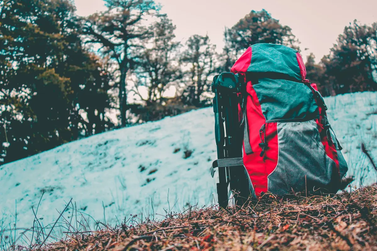
Photo: Avinash Patel / Pexels